Grant awarding bodies, when they provide WaterHarvest with funding, always ask us to submit evidence that our projects are achieving their objectives. Reporting that we have constructed 100 taankas in a village or have established 10 self-help groups, our outputs, are easy to report on. Much more challenging is to provide evidence of longer-term change; the impacts. These are not usually visible for a few years after a project has ended.
We have recently received a copy of a Master of Science thesis entitled Gangeshwar Watershed Analysis and Soil Erosion Modelling in Southern Rajasthan, India. The author, Momisha, used skills in Geoinformatics (GIS and Remote Sensing) to measure the changes that had taken place in a watershed where WaterHarvest, over many years, had re-introduced traditional methods of water harvesting such as stone check dams and anicuts.
The 9.3 square kilometre Gangeshwar Watershed in Rajasthan lies some 35 kilometres south-east of Udaipur. Its main river, the Gomti, flows into Jaisamand Lake. This is an area of very low annual rainfall (150mms per year average) over a period lasting a mere 20 days in any year. Very little rainfall occurs outside the monsoon.
Momisha examined land use changes in the Gangeshwar watershed at intervals from 2004 to 2017 and also modelled soil erosion. His results show a doubling of vegetation from 11% in 2004 to 20% in 2017, a small but significant increase. Whilst it cannot be assumed that this remarkable change was caused solely by WaterHarvest’s work, it can be acknowledged that the construction of a range of water harvesting structures has helped to change the landscape in this otherwise arid area.


In order to substantiate his findings, Momisha studied change in the neighbouring Deoli watershed where no water harvesting
structures had been constructed. Here vegetation increased from 12% to 15%. Momisha showed that the amount of open land that might be vegetated represented over two thirds of the land area.
Momisha also modelled soil loss from the basin with results illustrating the challenge for the future. Calculations showed that an estimated 179 tonnes of soil were being removed from the basin each year. Work on constructing more water harvesting structures and planting trees needs to take place if the soil losses are to be reduced further.
Measuring impacts is never easy and many NGOs will move on from a project once it is completed never returning to see whether their work brought any lasting positive change. The Gangeshwar study thus provides an excellent example of the impacts achieved as a result of carefully located and well-constructed water harvesting structures.
Written by Kevin Cook on 21st September 2018 (Trustee, WaterHarvest)
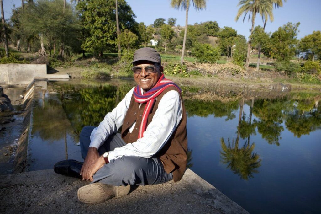
Featured Image: Mr Heera Lal Sharma – Founder of our partner Sahyog Sansthan.

